Local

Cycling in Kelvingrove Park, image courtesy of Bike for Good

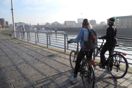
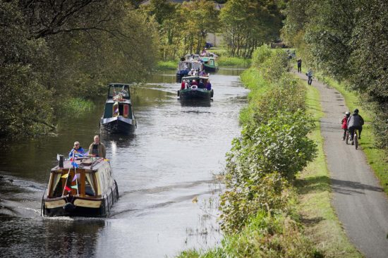
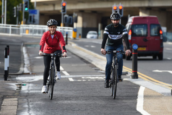
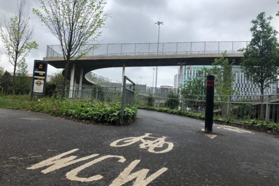
There are over 300km of cycle ways in Glasgow, with the three City Ways radiating to and from the city centre. They link into the city’s wider cycle network, including National Routes. Visit Glasgow’s cycling information map to view local cycling routes. 

  • Clyde Walkway

    From the centre of Glasgow, via Uddingston to the Falls of Clyde near New Lanark the route runs close to the River Clyde for the majority and features shared use paths in and near to the city centre.

  • Forth & Clyde Canal Towpath

    A total of 35 miles of towpath running from Bowling to Edinburgh provides a safe, traffic and pollution free route for cyclists of all levels. Part of National Route 754 follows the canal towpath from Bowling to Edinburgh.

  • Kelvin Walkway

    Running from the Riverside Museum to the start of the West Highland Way in Milngavie, the signposted 2.5 mile route along the tree-lined river Kelvin through Kelvingrove Park is on shared use tarmac paths. Part of National Route 756.

  • South City Way

    Running from Queen’s Park, along Victoria Road, to the Merchant City district, the South City Way has 3km of segregated cycleway through the densely-populated Southside of Glasgow.

  • South-West City Way

    2km of segregated cycle lane linking residential Pollokshields to the Tradeston footbridge crossing the Clyde into the city's financial district, near to Central Station. Takes in Shields Road and West Street subway stations, both with free cycle parking so you can plan a connected cycle and subway route.

  • West City Way

    Kelvingrove Park connects to Central Station via the former 'Bridge to Nowhere' in Anderston on a largely segregated cycle lane along the route. Connects to National Route 75 at the Clyde riverside and the South-West City Way at Tradeston footbridge.